Abstract Musings

Documenting the random thoughts of a cluttered mind

Day 4 — Black Canyon of the Gunnison National Park, May 2005

In May 2005, Rachelle and I took a vacation to Colorado. After visiting Royal Gorge, we crossed the Continental Divide and made plans to spend our fourth day in Colorado visiting Black Canyon of the Gunnison National Park.

Black Canyon of the Gunnison National Park
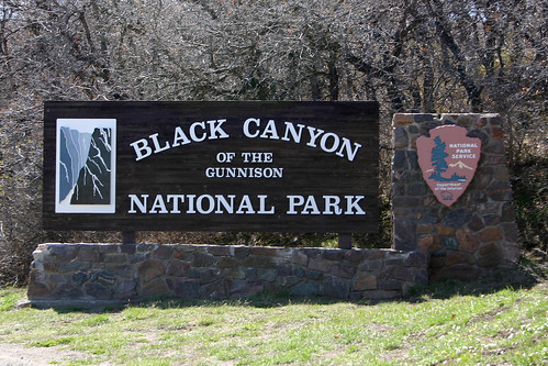
Welcome to Black Canyon of the Gunnison National Park
The National Park’s sign greeted us as we entered the park.

The Gunnison River carved the Black Canyon. Like Royal Gorge, the canyon is narrow and its walls are steep.
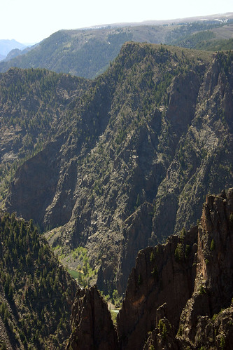
Tomichi Point
Our first stop in the park was at Tomichi Point. From here we had our first views into the depths of the canyon.
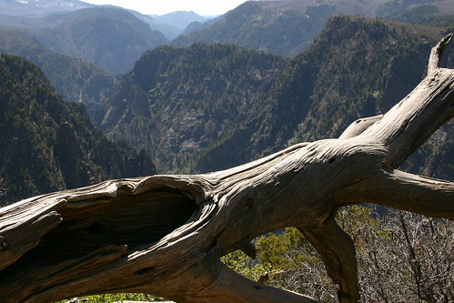
Guardian
Rachelle took this photo of a dead tree guarding the canyon.
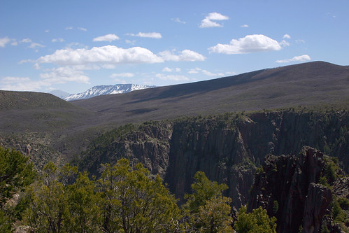
West Elk Mountains
In the distance, the snow-capped peaks of the West Elk Mountains loom majestically over the canyon.
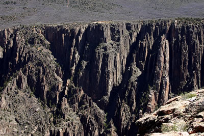
View from Gunnison Point
Next, we visited the Visitor Center and afterwards hiked the short trail out to Gunnison Point.
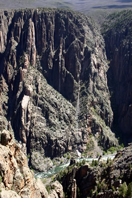
The Gunnison River rushes below
The Gunnison River’s usually steep descent and narrow channel cause the river to be quite loud. We were told that at the bottom of the canyon the river is deafening. Even at 1,840 feet above the river, we could easily hear the roar of the water as the Gunnison River rushed below us.
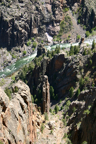
Gunnison Point
Here’s a close-up of the river and the canyon floor.

We drove to the end of the South Rim Road and worked our way back towards the park’s entrance along the rim.
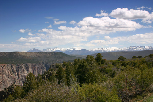
High Point View
At the end of the South Rim Road is High Point. From here we had a spectacular view of the West Elk Mountains as they rose on the horizon.
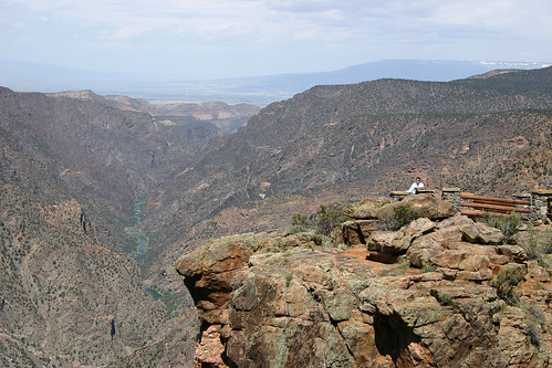
That's Me!
Here I am posing for a photo at Sunset View.
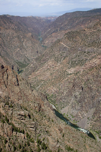
Looking West from Sunset View
The view from Sunset View as the Gunnison River continues on to the west.
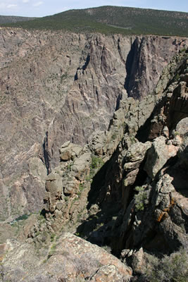
Rocky Walls
Here’s a view of the rough canyon walls.
Painted Wall
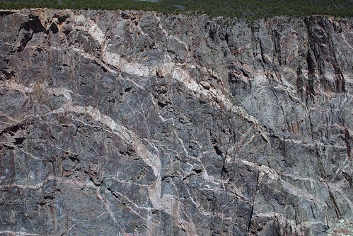
At 2,250 feet Painted Wall is the tallest cliff in Colorado. If you look closely enough you can see two dragons, one above the other. The pinkish color rock that forms the dragons is called pegmatite. The pegmatite was originally magma that was squeezed into the other layers of rock (schist and gneiss) that form the canyon walls. Other examples of pegmatite in the canyon are the pegmatite dikes visible at Gunnison Point. (Look for the pinkish rock fins extending from the opposite wall of the canyon.) The pegmatite is harder than the surrounding rock, so it is more resistant to erosion.
Gnarled Tree and the Mountains
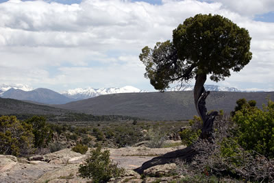
Rachelle took this photo of a gnarled juniper with the mountains in the background.
Lonely Tree
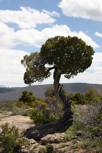
Then she took this close-up of the juniper itself. I’ve noticed several photos of this tree on other websites. This must be the most photographed tree in the park!
Canyon Floor
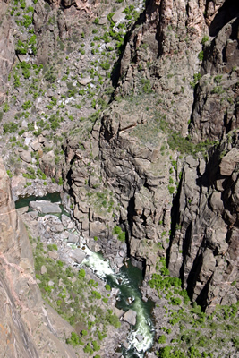
This photograph of the river was taken at Chasm View. As I mentioned before, the Gunnison River has an unusually steep descent. Over its 50 mile length through the gorge, the river falls 2,150 feet, an average drop of 43 feet per mile. The Colorado River in the Grand Canyon only descends an average of 7.5 feet per mile. The Gunnison’s greatest descent occurs near Chasm View at 480 feet in a two mile stretch (240 feet per mile average). Chasm View is also the narrowest point of the canyon along the rim at 1,100 feet from rim to rim.
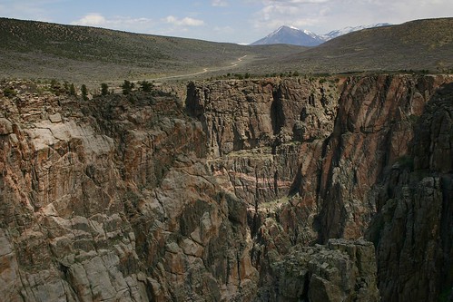
The Road Through Grizzly Gulch
The road through Grizzly Gulch to the North Rim is easily visible from Cross Fissures View. Also, notice the streaks of pegmatite in the canyon walls.
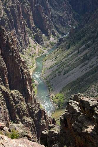
Pulpit Rock Overlook
Pulpit Rock Overlook was our last stop in Black Canyon of the Gunnison National Park.

Million Dollar Highway

Rachelle and I had planned to be flexible on this vacation so we could see as much (or as little) as we wanted. After visiting Black Canyon of the Gunnison National Park, we were undecided about what to do next. We both wanted to take a train ride during the trip, but so far had been unable to work one into our travel plans. Being just a few hours drive from Durango and the Durango & Silverton Narrow Gauge Railroad, we called to see if we could get tickets for the train the next day. To our welcome surprise tickets were still available, so we took advantage of the opportunity and made plans to ride the train the following day.

To get to Durango we drove south along US 550 from Montrose, CO. The stretch of highway through the mountains south of Ouray to Silverton is known as the “Million Dollar Highway”. There are several explanations for the name of the highway: one is that the road is named for the value of low grade gold ore found in its roadbed, and another has it that the name was due to the high cost of building a road over Red Mountain pass (11,008 feet in elevation) along the Uncompahgre Gorge. Regardless, the scenery we saw along the drive south was definitely worth a million dollars.
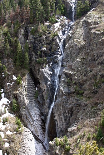
Along the Million Dollar Highway
Along our drive we noticed several waterfalls caused by the snow melt.
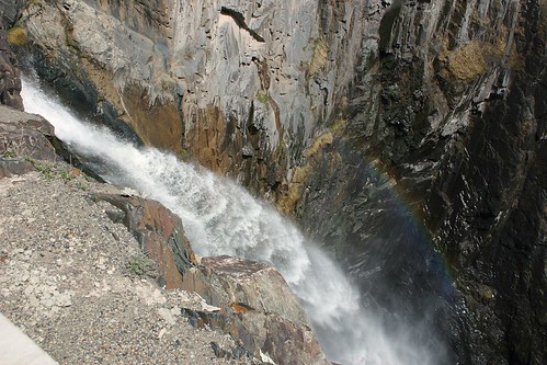
Waterfall and Raindow
This waterfall was on the opposite side of the gorge from the one in the last photo.
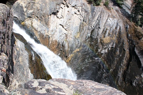
Blasting Away
Here’s another view of the waterfall and its rainbow.
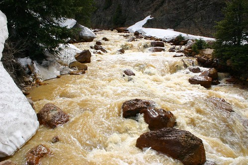
Muddy Waters
We also saw several swollen creeks with muddy water due to the snow melt.
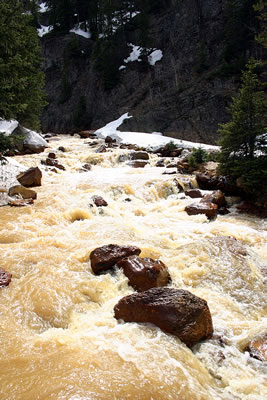
Another Muddy Creek Photo
Here’s another photo of the same creek. Notice the snow. We had risen in elevation enough that snow was still lying on the ground
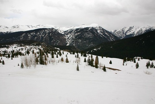
Snowy Scene at Molas Pass
At Molas Pass (elevation 10,910 feet) we parked the car, walked around and enjoyed the awesome snowy scene around us.
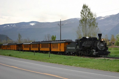
Passing the Train
As we approached Durango, we passed the train on its way back from Silverton for the day.

The next day we would be passengers on the Durango & Silverton Narrow Gauge Railroad.
Day 3 — Royal Gorge, May 2005

In May 2005, Rachelle and I took a vacation to Colorado. After visiting Garden of the Gods and Pikes Peak, we continued sightseeing on our third day in Colorado by stopping to see Royal Gorge.

Royal Gorge

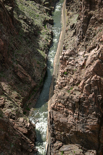
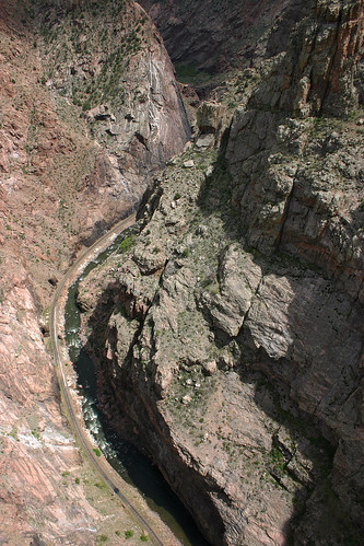
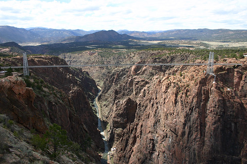
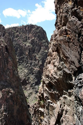
Royal Gorge was carved by the Arkansas River. Unlike the broad Grand Canyon, the Arkansas River cut a very narrow and steep gorge through the rock.

Royal Gorge
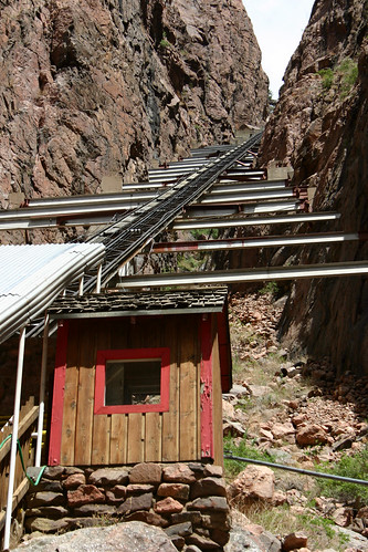
We began exploring Royal Gorge with a trip down the Incline Railway. The ride takes about 5 minutes inside a rather small cage. We had plenty of time to view the walls of the gorge as we descended to the river.

Incline Railway
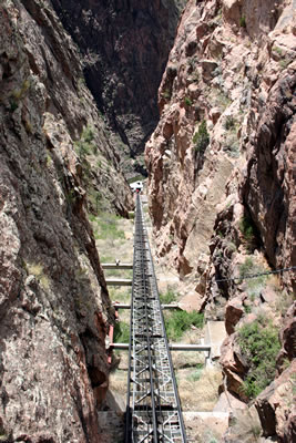
The Incline Railway descends at a 45° angle 1550 feet to the bottom of the gorge.

It's Way Up There
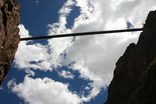
From the bottom of the gorge the bridge doesn’t look so large.

Incline Railway
Another view of the Incline Railway as it ascends the canyon walls. We rode the railway back top the top of the gorge and then walked across the world’s tallest suspension bridge.

Suspension Bridge Tower
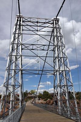
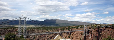
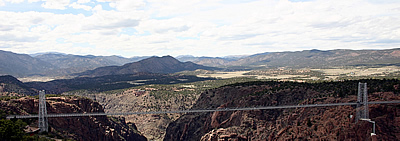
The Royal Gorge Suspension Bridge is 1053 feet above the Arkansas River making it the tallest suspension bridge over water in the world. As we started to cross the bridge, we passed the anchorages and the thousands of steel strands that hold the surface of the bridge up.

Arkansas River
A view of the Arkansas River from the west side of the bridge. In 1806 Royal Gorge was scouted by a party sent by Lt. Zebulon Montgomery Pike, whose camp was at the eastern end of the canyon.

Denver & Rio Grande Western Railroad
The Arkansas River flows away to the east. The Railroad is part of the Denver and Rio Grand Western Railroad. In 1877 silver was discovered along the Arkansas River and the Rio Grande and the Santa Fe Railroads competed for the right to build a railroad through the gorge to carry the freshly mined ore from the mountains. This competition led to the Royal Gorge War with both railroads sabotaging their competitor’s efforts. The conflict resulted in a six month long court battle in which the United States Supreme Court ruled that the Denver & Rio Grande had the right of way through the gorge. Unhappy with the results, the Santa Fe Railroad continued its efforts to build a parallel track and further conflict ensued. Eventually, the ownership of the line was settled and the Denver & Rio Grande Railroad completed the route through the gorge, paid the Santa Fe Railroad for the track that the Santa Fe Railroad had laid and leased the line to the Santa Fe. Eventually, the mining operations ceased and the route was used primarily for passenger service until 1967. Now, a sightseeing train runs along the track through the gorge from Canon City to Parkdale.
Royal Gorge Suspension Bridge
Here’s a photo of the suspension bridge from the south side of the gorge.

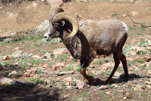
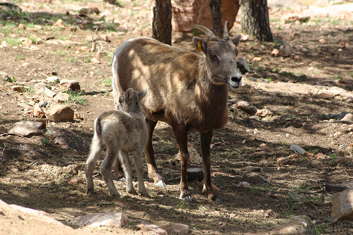
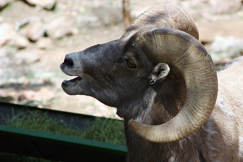
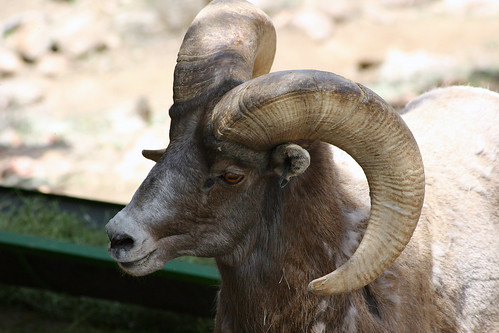
Once we crossed the bridge, we spent a while watching the Bighorn Sheep in the Wildlife Park.

Bighorn Sheep Lamb
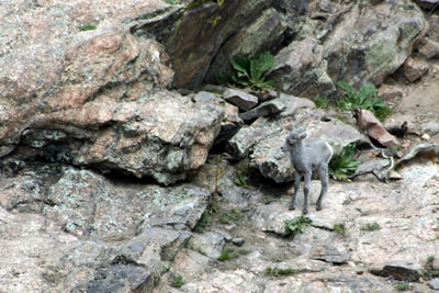
The park had a herd of Bighorn Sheep with two lambs.

He's Got Big Horns
This was the only adult male we noticed in the herd.

Stay Close to Mama
I am guessing that this little lamb belonged to this female.

Calling Out
While we watched as an employee corralled one of the lambs, the male came closer, so I was able to take a few close-ups of him.

Male Bighorn Sheep

Royal Gorge Suspension Bridge
We walked on up to an observation area, where we had a spectacular view of the full span of the bridge.

Royal Gorge Suspension Bridge
We rode the Aerial Tram back across the gorge. From the tram we could see the bridge as it spanned the gorge over the river far below. Just barely visible in this photo is the hanging bridge. The gorge is too narrow at this point to support a bed for the railroad, so the railroad constructed an bridge for the track that is suspended from two metal braces anchored on both ends of the gorge. When we were down in the gorge, I took a better photo of the hanging bridge.

Continental Divide

We left the park and continued on our route west. Once we drove up into the mountains, we again encountered a landscape shrouded in vast amounts of snow.

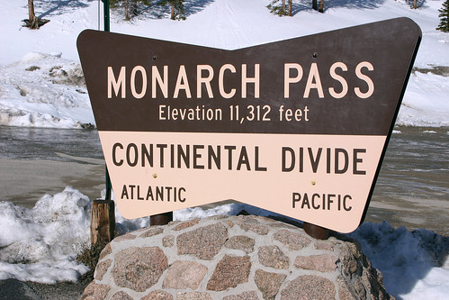
Monarch Pass Sign
The Monarch Pass sign announced our crossing the Continental Divide at 11,312 feet above sea level.

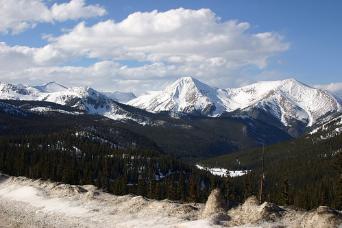
Monarch Pass Scenery
Despite the rather frigid temperature at this elevation. I walked around and took some photographs of the stunning scenery at the pass.

Monarch Pass Scenery
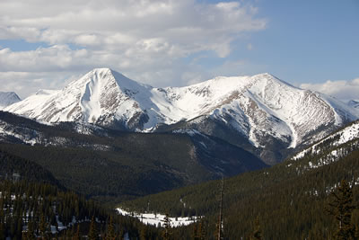
Here’s a close-up of just some of the snow-capped peaks we observed along the drive.

We then continued our drive down the mountains. We planned to spend the next day sightseeing at Black Canyon Of The Gunnison National Park.

Day 3 — Garden of the Gods & Pikes Peak, May 2005

In May 2005, Rachelle and I took a vacation to Colorado. We started our third day in Colorado by re-visiting Garden of the Gods and then driving to the summit of Pikes Peak.

America the Beautiful
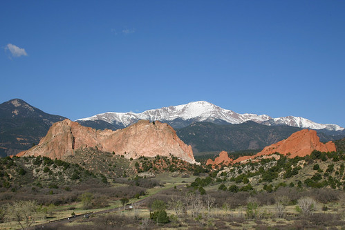
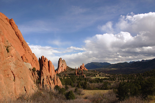
We started the day by re-visiting Garden of the Gods. This photo of Gray Rock and South Gateway Rock with Pikes Peak in the background was taken from the visitor center overlook. You can also view a panoramic shot of this landscape.

Garden of the Gods

Garden of the Gods Sign
The Garden of the Gods sign welcomed us back to the park.

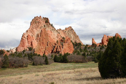
Tower of Babel
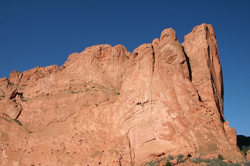
North Gateway Rock loomed above us.

Red Rocks
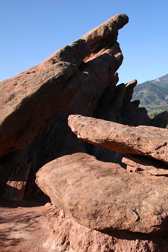
This was an interesting formation I had noticed the day before, so we pulled over to allow me to take some photos of it.

Pointing the Way
This is a photo of the backside of the previous rock formation which shows how the rock has been tilted to the side.

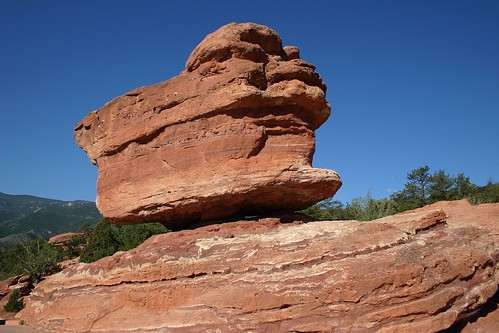
Balanced Rock
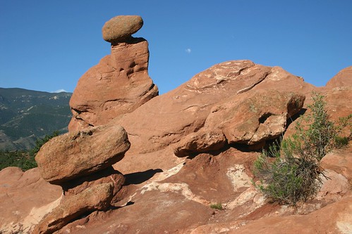
This would be the first of three formations named “Balanced Rock” we would see on our trip.

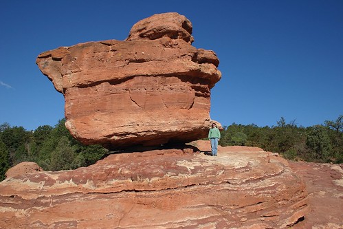
Just How Big Is It
Rachelle standing beside the rock gives some perspective to just how large this formation is.

Pikes Peak

We finished up our trip to Garden of the Gods and then headed on to Pikes Peak.

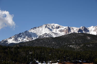
Pikes Peak
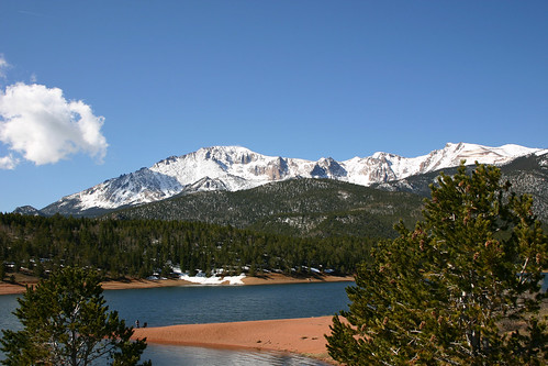
On our way to the summit, we stopped at Crystal Reservoir to enjoy the wonderful scenery.

Pikes Peak Summit
Here’s a close-up of the summit.

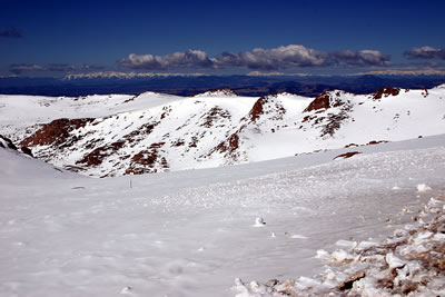
Above Tree Level
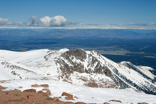
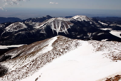
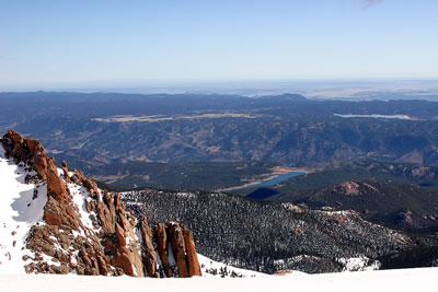
As we continued towards the summit, we eventually left the trees behind. The snow-capped peaks in the distance comprise the Continental Divide.

Snowy View
More snow-capped peakes. Needless to say, the spectacular views captivated us.

Crystal Reservoir
Crystal Reservoir lies far below us now.

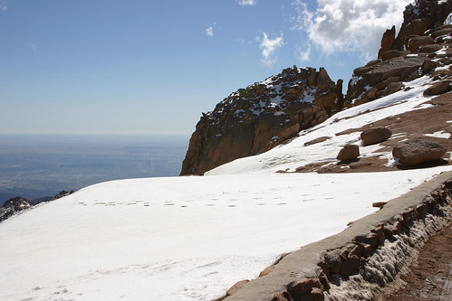
Height
More of the impressive scenery along our drive to the summit. The amount of snow that was present amazed both Rachelle and I.

Pikes Peak was named for Zebulon Pike, an early American explorer of the Southwest, who saw the mountain in 1806. Soon afterwards, he attempted and failed to reach the summit, and is said to have declared that no one might ever scale the mountain. But in 1820, Edwin James successfully ascended the mountain. The mountain also inspired Katharine Lee Bates to write “America the Beautiful”.

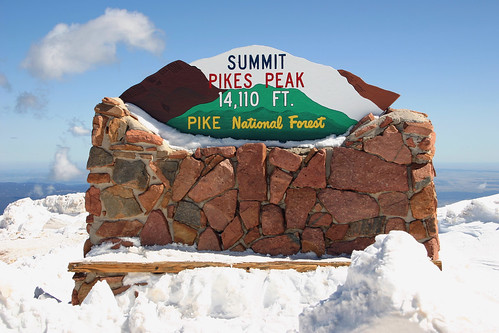
14,110
Eventually, we arrived at the summit–14,110 feet above sea level.

Looking Back
Facing south at the summit, the Pikes Peak highway is visible as it winds its way up the mountain.

Cog Railroad
Besides driving up the highway, the Pikes Peak Cog Railway takes visitors to the summit. In addition, the Barr Trail, a 13-mile hike, offers adventurous individuals access to the peak.

Amazing Scenery
More of the amazing scenery that greeted us at the top of the mountain.

Above the Fruited Plain
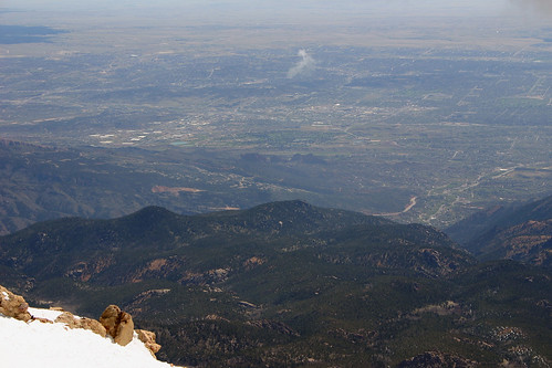
Colorado Springs lay before us to the northeast. Just visible in this photo are the rocks of Garden of the Gods.

Colorado Springs
This photo shows Garden of the Gods a little bit better.

After eating lunch at the summit, we descended down the mountain, and traveled on to Royal Gorge.

Day 2 — Colorado Springs, May 2005

In May 2005, Rachelle and I took a vacation to Colorado. After arriving in Colorado, we spent our second day in Colorado with some friends who live in Colorado Springs visiting some of the beautiful sights around the area.

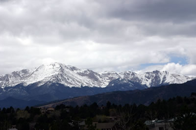
Pikes Peak When we were leaving the hotel for the day, I took a photograph of Pikes Peak from the parking lot. It was an amazing sight to see this majestic mountain towering over the city from just about any place we went.

Garden of the Gods

After church, we took a picnic lunch to Garden of the Gods. When we finished our meal, we hiked along the Central Garden Trails.

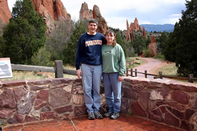
Rachelle and I One of our friends took a photo of Rachelle and I with the awesome scenery behind us.

South Gateway Rock This is a photograph of South Gateway Rock.

Gateway Rocks The formation on the left is the North Gateway Rock and the one to its right is South Gateway Rock. The trail passes between the two rock formations.

Cloudy Skies Even with the overcast skies, the scenery was still remarkable.

Pikes Peak The trail also offered a great view of Pikes Peak.

Hello Sunshine! Eventually, the clouds began to clear.

A Break in the Clouds As the sun appeared, it made the scenery even more spectacular.

As we left the park, I took some more photos of the beautiful landscape.

Backside

More Red Rocks

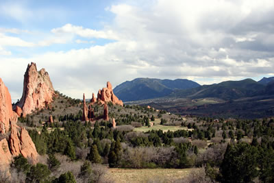
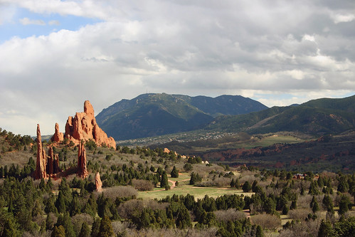
Garden of the Gods One last look at Garden of the Gods. The mountain in the background is Cheyenne Mountain, home to Cheyenne Mountain Air Force Station buried beneath the surface of the mountain.

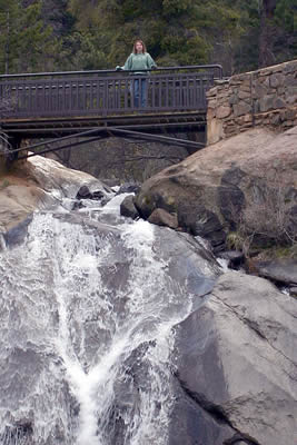
Helen Hunt Falls

Next, we decided to go for a scenic drive. On the drive we stopped at Helen Hunt Falls.

Helen Hunt Falls Rachelle posed for a photo at the waterfall.

Gold Camp Road

We then continued our scenic drive along Gold Camp Road.

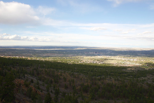
Colorado Springs I took this photo shortly after we started our drive. In the center of the photo, you can see downtown Colorado Springs as both the city and the plain seemed to extend to the horizon.

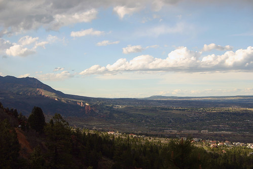
Garden of the Gods Later, I took this photo in which the sandstone formations of Garden of the Gods are clearly visible.

Cripple Creek

We ended our day by driving to the west of Pikes Peak. We visited Cripple Creek, where gold was discovered in 1890 and started the Pikes Peak area gold rush. People now seek their fortunes in the casinos of Cripple Creek.

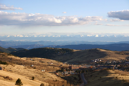
Cripple Creek Cripple Creek lies in a valley with the snow-capped peaks of the Sangre de Christo Mountain Range in the background.
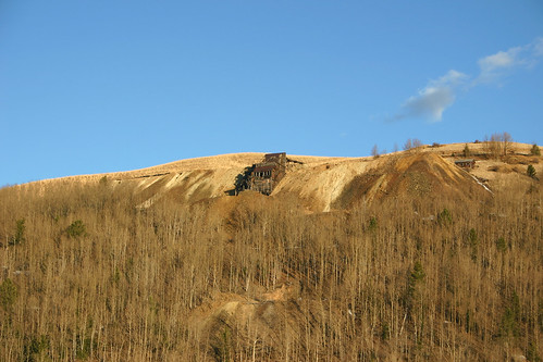
Gold Rush All along our drive, we saw evidence of the historic mining activity which once dominated this area. This is a photo of one of the abandoned mines we passed along the way. Gold is still being mined in the area between Cripple Creek and Victor, CO.
The next day, Rachelle and I planned to drive to the summit of Pikes Peak, after re-visiting Garden of the Gods, and then going on to see Royal Gorge.

Day 1 — Colorado Springs, May 2005

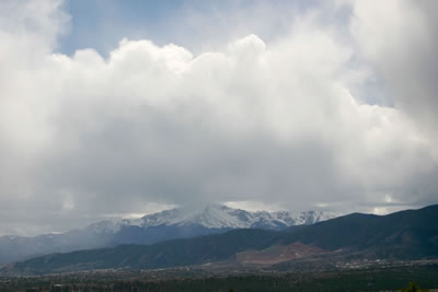
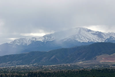
In May 2005, Rachelle and I took a vacation to Colorado. We began our trip by flying to Denver, and then driving to Colorado Springs to visit some friends who live in the area. The sky was overcast, so I didn’t take many photographs. Although, I did have the chance to take a few photos of Pikes Peak rising above the city.

Pikes Peak

Close-up of Pikes Peak

We planned on spending the next day with some friends who live in Colorado Springs visiting Garden of the Gods.

Great Blue Heron, Spring 2005

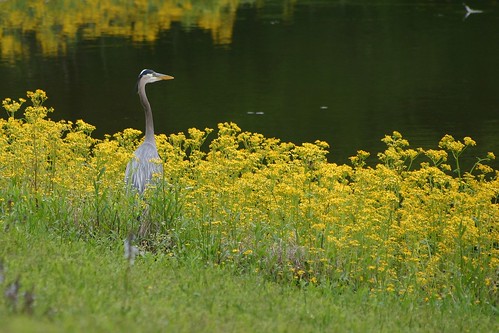
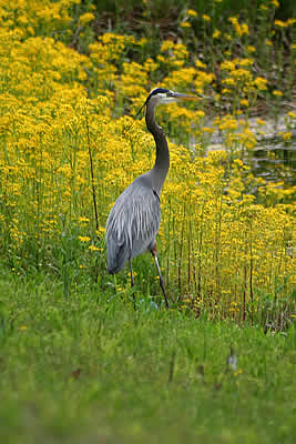
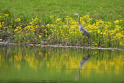
Rachelle and I spent this past weekend camping at Harrison Bay State Park just north of Chattanooga, TN. We spent some of our free time exploring the park. We happened to observe a great blue heron flying in our direction and watched as it landed by the edge of the lake near us.

Great Blue Heron

Great Blue Heron

Great Blue Heron at the Water’s Edge
Great Blue Heron at the water’s edge

My First Plane Flight, Summer 1997

In the Summer of 1997, I took my first plane flight in a little Cessna piloted by a friend of mine. My friend had just gotten his Pilot’s License, and I was his first victim, err…, passenger as a result of a promise he made me to take me up for a flight when he finally got his license. It was a hazy day so these pictures aren’t of the best quality, but they do record the flight pretty well.

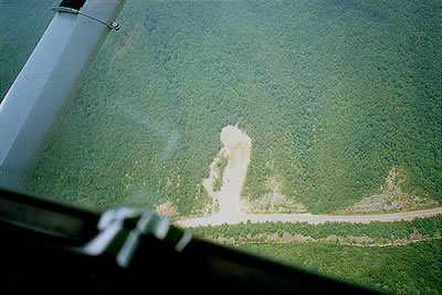
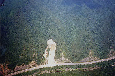
These photos are from a trip we took to see a rockslide on I-40 at the North Carolina-Tennessee border. It was our second flight of the day. Earlier that day, we had gone for a short flight over Oak Ridge and part of Oak Ridge Labs to be sure that I would not be sick or anything. (My friend was a bit cautious – since I had never flown before – that I might get motion sickness once we were in the air, and he wanted to be sure that we wouldn’t be far from the landing strip, just in case I freaked out.) I was so excited afterwards that we reserved the plane for the afternoon and went for a second trip. On this trip we thought to bring a camera, which we had forgotten on the first flight.

The Plane
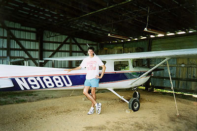
Here is a picture of me with the infamous plane. Can you believe that my first flight was in such a small plane? What was I thinking?

Our Destination

Another Rockslide Photo
And this was our target – the rockslide on I-40 at the North Carolina/Tennessee border.

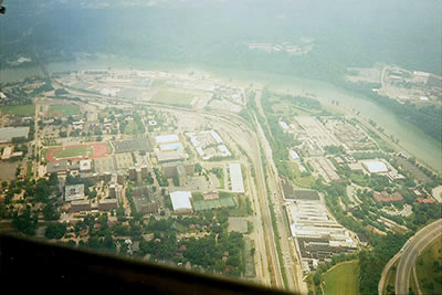
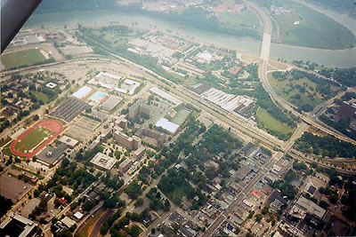
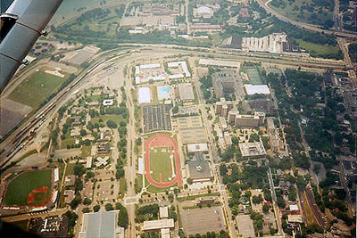
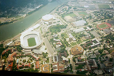
On our way to the rockslide, we circled around the University of Tennessee, Knoxville campus. The following pictures are of the campus.

University of Tennessee, Knoxville
This is the University of Tennessee, Knoxville looking down Volunteer Blvd. on the West end of campus.

Presidential Courtyard
This is the west end of campus looking at the Presidential courtyard …

Tom Black Track
… And this photo is looking down on Tom Black Track.

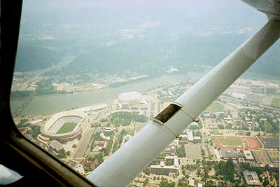
While we circled the campus, I took a couple of photographs of Neyland Stadium, one of the largest on-campus stadiums.

Neyland Stadium and Thompson-Bolling Arena
Here’s a photo looking at the other end of campus – showing Neyland Stadium and Thompson-Bolling Arena.

The Hill and Ayres Hall
And this picture is looking down on Neyland Stadium with Thompson-Bolling Arena in the background. In the lower left hand corner you can see The Hill and Ayres Hall with it’s bell tower.