In May 2005, Rachelle and I took a vacation to Colorado. We spent the last few days of our vacation visiting Rocky Mountain National Park. After driving up Kawuneeche Valley on the western end of Trail Ridge Road, we then drove to the eastern side of Rocky Mountain National Park.
Bear Lake
After a stop at the Beaver Meadows Visitor Center, we decided to drive down to Bear Lake and take a short hike out to Nymph Lake.
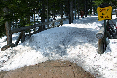 This was the scene that greeted us when we arrived at the trail head.
 I wouldn’t say the trail was icy–it was merely covered in about three feet of snow.
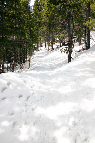
 Eventually, we stopped to take a break, and decided we were not adequately prepared to be sloshing around in all this snow. The trail seemed to be getting steeper, and we were concerned about getting back down safely. So we opted to return to the trail head and hike around Bear Lake instead.
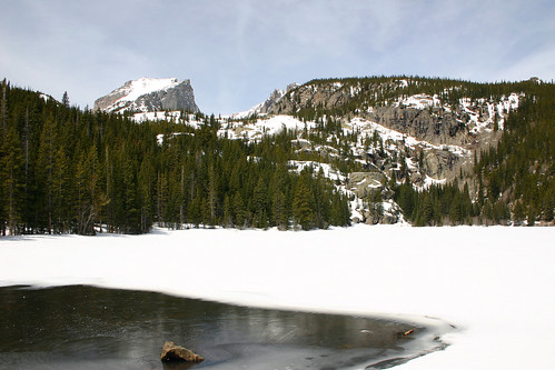 Bear Lake was almost completely frozen and covered with snow. Only the part at the bottom of this photo was free of ice and snow. The mountain to the left is Hallett Peak with Flattop Mountain to the right.
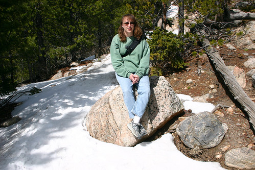
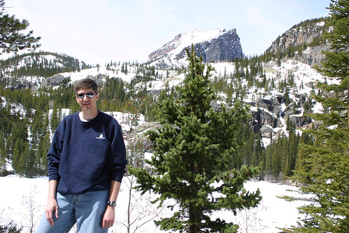 Here I am posing for a photo with Hallett Peak in the background. Both Hallett Peak and Flattop Mountain are on the Continental Divide.
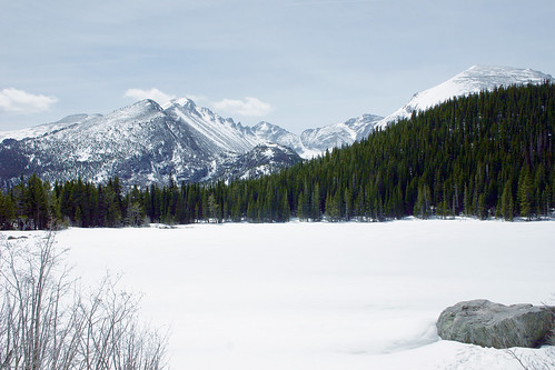 Here’s another photo of the surface of Bear Lake, completely covered with snow. The trail was also buried under snow. At various points along the trail, we could see the tops of the trail fences sticking up through the snow.
Sprague Lake
Next, we headed to Sprague Lake and took a short hike around the lake.
 Sprague Lake drains into this stream. The mountain in the background is Hallett Peak.
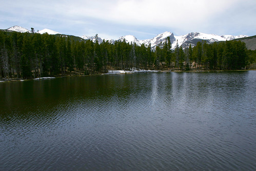
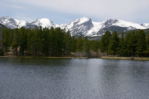 Here’s a better view of the lake. Hallett Peak is in the center of this photo with Flattop Mountain to the right. Between them is Tyndall Glacier.
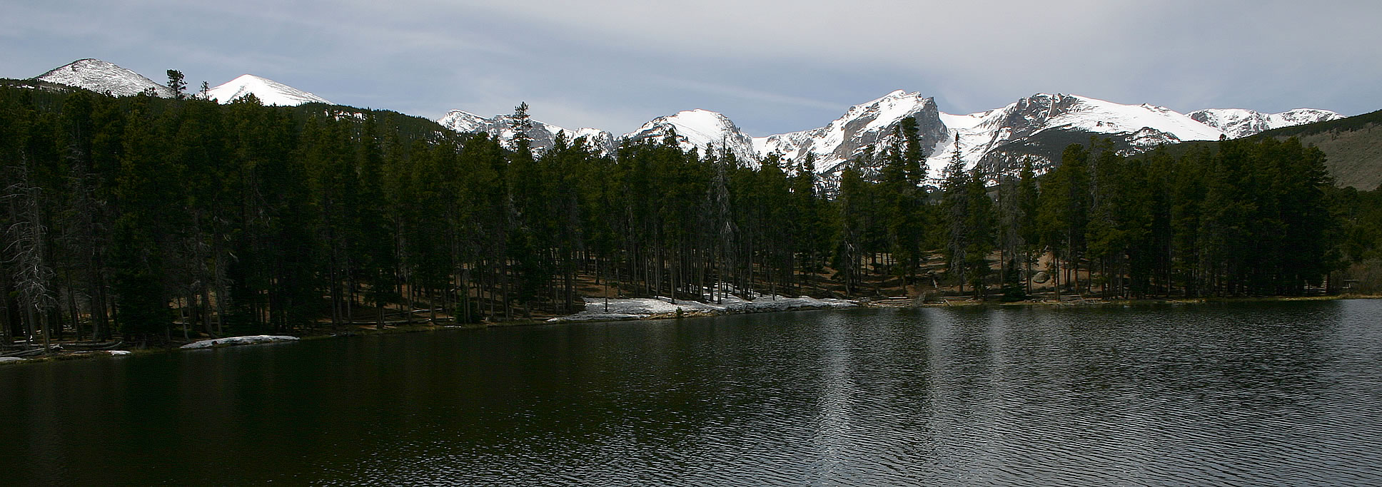
 Here’s a wide angle shot of the mountains rising above Sprague Lake. I also have a panoramic photo of these mountains and the lake.
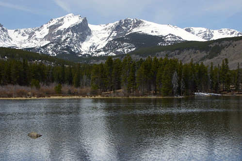 One last photo of Hallett Peak towering over Sprague Lake.
Rachelle and I had both caught a cold during our trip, and after lunch we were both feeling a bit run down. So we retired to our hotel room for some needed rest. After our nap we continued our exploration of the park by driving into Horseshoe Park, which we had visited the night before.
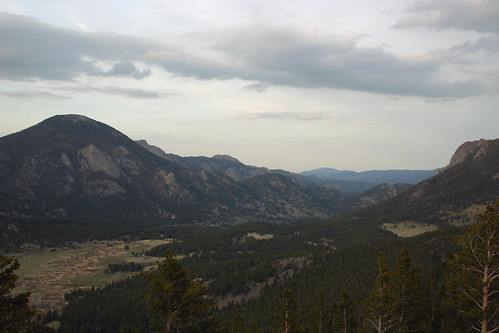
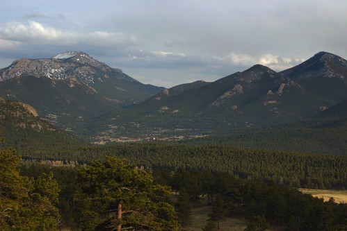 Along the way we stopped to take in the view. This is looking east towards Estes Park.
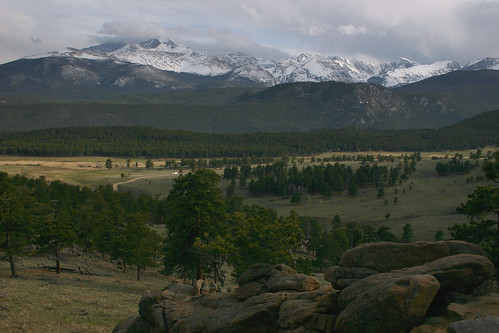 And this photo is looking out over Moraine Park at Longs Peak.
Alluvial Fan
On July 15, 1982 an earthen dam built on Lawn Lake for irrigation purposes failed. The U.S. Geological Survey website has before and after topographical maps, as well as aerial photos of the area. There is a short trail to a bridge over the Roaring River and an excellent close-up look at the debris that was left behind.
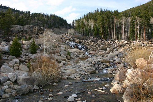 The resulting flood waters deposited this debris, known as an alluvial fan, in Horseshoe Park at the mouth of the Roaring River. The debris also dammed up the Fall River creating a new lake in Horseshoe Park.
 In addition, the flood waters caused Cascade Dam father down Fall River to fail and flooded the town of Estes Park.
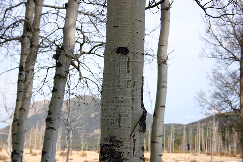
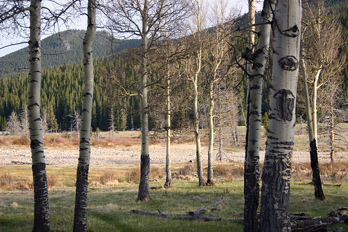 These aspen were growing in Horseshoe Park.
Many Parks Curve
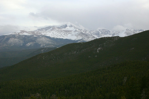
Next, we drove up to Many Parks Curve which is the farthest we could go on this end of Trail Ridge Road. The overlook wraps around a bend in the road, giving spectacular views of both Moraine and Horseshoe Parks.
 At 14,255 feet in elevation, Longs Peak is the tallest mountain in Rocky Mountain National Park.
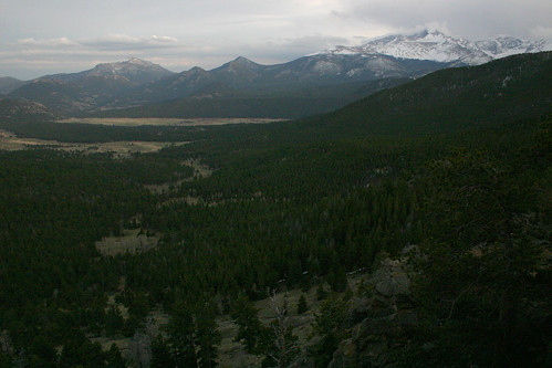 Longs Peak rises above Moraine Park.
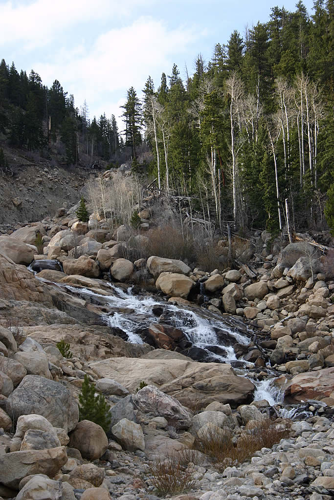
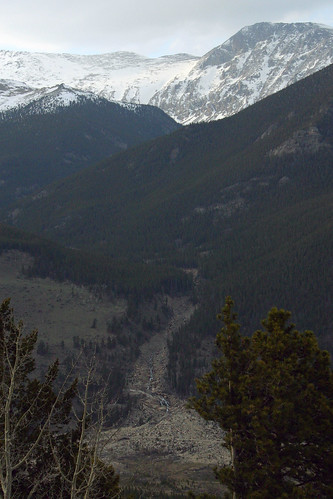 When Lawn Lake Dam failed, the flood waters gouged a channel out of the ground that remains twenty-three years later.
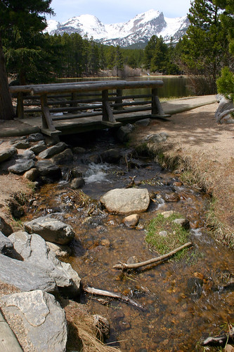
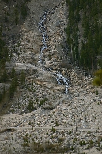 The bridge in the middle of this photo is the footbridge where I took the earlier photos of the alluvial fan.
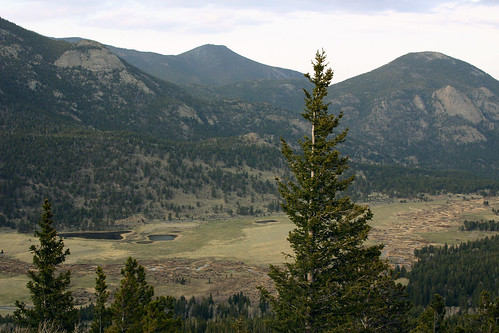 This photo shows Horseshoe Park with Sheep Lakes on the lower left side, and the Fall River winding its way through the valley.
 The Fall River continues on its way farther down the valley.
At this point we called it a day. I made plans to get up the next day to take some photos at sunrise. *[U.S.]: United States